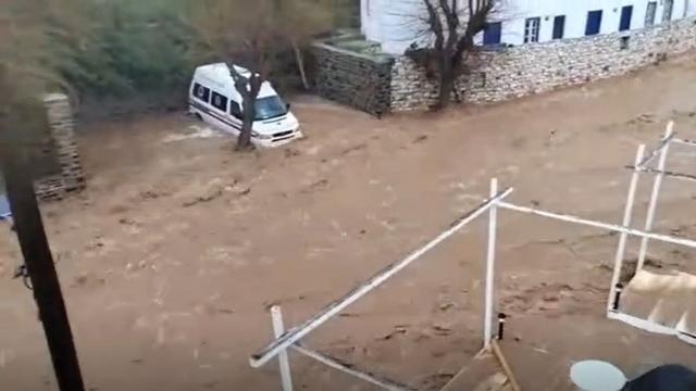
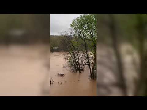
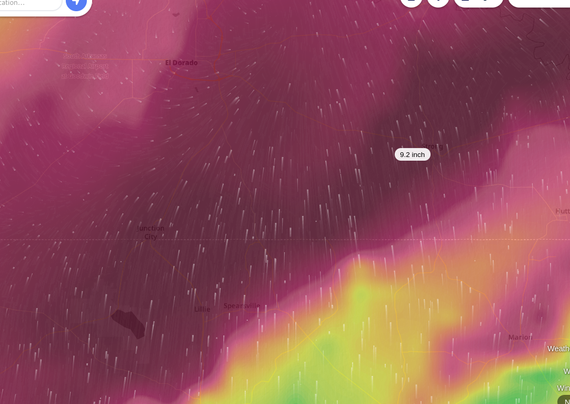
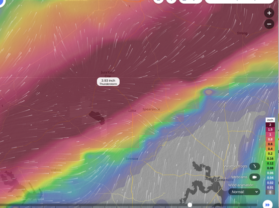
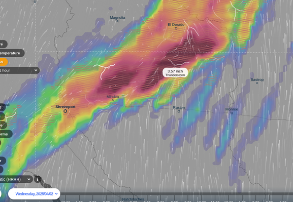
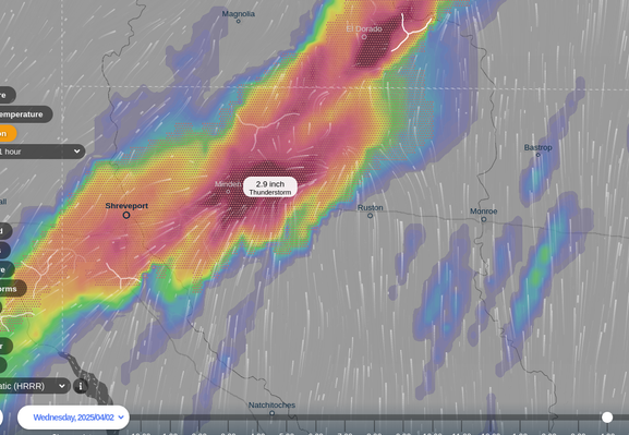
Flooding in Arkansas from earlier today (local news coverage). #flooding #ARwx https://www.youtube.com/watch?v=nV1SMJ08UFo
Recent searches
Search options
#flooding
At least 16 dead in flooding and tornadoes as storms slash from Texas to Ohio
“We expect this to be one of the top 10 flooding events in Louisville history,” – Louisville Mayor Craig Greenberg
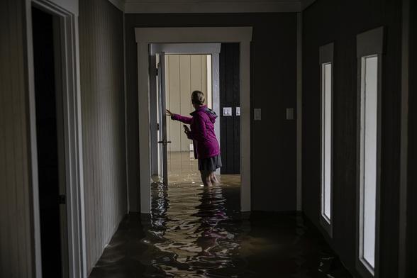
AP: Flooding in southeastern Oregon prompts evacuation orders, school closures and health concerns
"BURNS, Ore. — Flooding in rural southeastern Oregon from what authorities have described as “historic levels” of snowmelt and rainfall has prompted evacuation orders, school closures and public health concerns, submerging roads and agricultural land and damaging homes and businesses...."
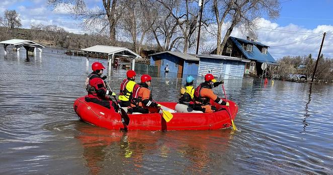
Rainfall continues. #flooding #FlashFlooding #SevereWx
Flood risks getting worse along U.S. coastlines, new analysis shows
"Climate Central has developed a Coastal Risk Finder tool for the public and policy makers to map the flooding risks for their parts of the country. It paints a dire picture for people living along coastal Florida, New York and New Jersey, where it predicts the largest number of people and homes at risk from severe #flooding. "
Severe Weather Alert
A tornado outbreak is expected today & tonight across the Lower Mississippi Valley, Mid-South & Lower Ohio Valley. Strong, long-track tornadoes (EF3+) are likely.
Additionally, a multi-day heavy rain event could cause catastrophic flooding in the Ozarks & Ohio River Valley through Saturday. Stay alert! #Weather #Tornado #Flooding
Major extreme weather event incoming for the US.
Excessive Rainfall Discussion
NWS Weather Prediction Center College Park MD
339 AM EDT Wed Apr 2 2025
Day 1
Valid 12Z Wed Apr 02 2025 - 12Z Thu Apr 03 2025
...THERE IS A MODERATE RISK OF EXCESSIVE RAINFALL FROM SOUTHERN ARKANSAS TO SOUTHERN INDIANA...
..A PROLONGED LIFE-THREATENING FLASH FLOOD EVENT WILL BEGIN TODAY
WITH SEVERAL DAYS OF HEAVY RAINFALL IMPACTING A LARGE PORTION OF THE LOWER MISSISSIPPI AND OHIO VALLEY'S..
(continued)
https://www.wpc.ncep.noaa.gov/qpf/ero.php?opt=curr&day=1
The Eyewall: Potential for catastrophic flooding by the weekend in the Mid-South and near the Ohio Valley
"...The National Weather Service in Paducah, KY did not mince words this afternoon in their briefing on the upcoming rainstorm across the Ohio Valley: “Significant and potentially historic rainfall will begin Wednesday afternoon, with numerous rounds of heavy rain continuing into the first half of the weekend, leading to potentially catastrophic flash flooding.”
..."
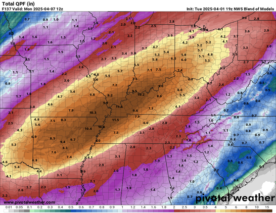
Please be careful, and prepare if you can:
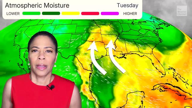
"Multiple days of life-threatening #flooding are possible mid-to-late week across parts of the South to the Midwest. Places like Memphis, Little Rock, Louisville, Indianapolis and Columbus could see major impacts. Widespread rain totals of 5 to 8 inches are likely, with localized totals up to a foot possible."
https://weather.com/storms/severe/video/flood-heavy-rainfall-threat-south-midwest-severe-forecast
"A powerful storm lashed the Greek islands of Paros and Mykonos on Monday, triggering widespread #flooding and prompting authorities to close schools and impose a ban on all traffic except emergency vehicles.
Forecasters warned that further #SevereWeather was on the way, with heavy rain to hit the Aegean islands, particularly the Cyclades."
https://www.euronews.com/my-europe/2025/04/01/severe-storms-cause-flooding-and-destruction-on-greek-islands-of-mykonos-and-paros
#Greece
