pawb.fun is one of the many independent Mastodon servers you can use to participate in the fediverse.
This instance aimed at any and all within the furry fandom, though anyone is welcome! We're friendly towards members of the LGBTQ+ community and aiming to offer a safe space for our users.

Server stats:

297
active users

#cartographer

0 posts0 participants0 posts today
The Voyager's Workshop
Public

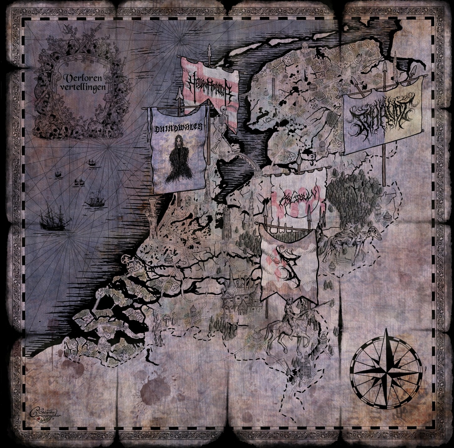
Custom fantasy maps of all kinds for your published projects or your home brew game. I take on big scale projects as well as small private commissions, always with the same level of dedication, professionalism and passion for meaningful storytelling.

Come in for a visit to The Voyager’s Workshop and inquire about a quote, it doesn’t cost anything to ask!

Chloe the cartographer
Public

I’m back once again to the magical land of Nicea. The client has been using the map in family games and now wants to extend the map to the east and west so it shows the whole continent which will look great. There is so much this map taught me, I love the spherical projection, I really want to draw a world map this way at some point. #shadows #mapping #dndmap #dndcartography #cartography #cartographer #rpg #dnd #roleplaying #fantasy #map #ttrpgart

Chloe the cartographer
Public

North Faerun map, I did this a while ago for the dnd campaign I had been running in the region where my players were searching for the buried flying city of Palter. Here I’ve given it a border like the one on my Moonshae map and added a little colour and texture. #mapping #dndmap #forgottenrealms #faerun #dndcartography #cartography #cartographer #rpg #dnd #roleplaying #fantasy #faerunmap #whitehorn #dndart #theride #toril #realmsmap #digitalart #ipadpro #dnd5e #5e

Ele Willoughby, PhD
Public

Happy birthday to #geologist & oceanographic #cartographer Marie Tharp (1920-2006), whose pioneering, thorough & complete ocean floor maps with Bruce Heezen, made using realms of echo sounder data, revealed the Mid-Atlantic Ridge.⁠

After studying #geology & math, Maurice 'Doc' Ewing at Lamont-Doherty Earth Observatory at Columbia hired her to draft 1000s of echo sounder profiles. 🧵1/n

Chloe the cartographer
Public

I should probably stop tinkering with this Moonshae map. Here I added in colour to indicate land use. This was always my intention for this map, but I think I prefer it without. I might need to layer on a hatching pattern so it’s easier to differentiate the land use. Still it is pretty. #map #cartography #fantasy #cartographer #mapmaker #mapdrawing #maps #lovemaps #faerun #moonshae #atlas #dnd #5e #dnd5e #gaea #fantasymap #toril #swordcoast

💧🌏 Greg Cocks
Public

A World Map With No National Borders And 1,642 Animals
--
nytimes.com/2023/12/10/world/a <-- shared media article
--
H/T @evan Applegate
“In a hand-drawn map of the world, hundreds of animals sprawl across valleys and volcanoes, deltas and deserts…"
#GIS #spatial #mapping #cartography #global #cartographer #art #artwork #mapsasart #gischat #NewZealand #NewZealander #COVID19 #pandemic #wildworld #handdrawn #map #expression #escape #AntonThomas #AntonThomasArt

Ele Willoughby, PhD
Public

Happy birthday to #geologist & oceanographic #cartographer Marie Tharp (1920-2006), whose pioneering, thorough & complete ocean floor maps with Bruce Heezen, made using realms of echo sounder data, revealed the Mid-Atlantic Ridge.⁠

After studying #geology & math, Maurice 'Doc' Ewing at Lamont-Doherty Earth Observatory at Columbia hired her to draft 1000s of echo sounder profiles. Women were still not allowed to participate in
1/n
#MastoArt
#sciart #printmaking #womenInSTEM #histstm #linocut

Chloe the cartographer
Public

Another colour variation for the dwarf mountain map. I think I’ve finally cracked doing distressed old print text look on the iPad, I’ll do a tutorial soon, but for now I’m super pleased with the look of the text. I’ve got different versions of this map for purchase on my Etsy store, link on my website. #mapping #dndart #dndcartography #cartography #cartographer #rpg #dnd #roleplaying #fantasy #townmap #ttrpg

Chloe the cartographer
Public

The dwarven city cross section map is finally finished. A geological survey focused on rock types feels a likely product of an underground society. As a result I’ve made the strata and faults of the rocks the most vibrant and detailed part of the map, leaving the tunnels and buildings as mostly negative space. I’m super pleased with how it turned out. Map will be on sale as an art print soon. #ttrpg #gamemap #gamemaps #mapmaker #mapmakers #cartography #cartographer #cavecity

Chloe the cartographer
Public

I have found that if I don’t sketch the map in 3d I tend to end up with something flatter than I wanted. Voxel drawing apps are a quick and easy way to solve this, they result in better maps and help communicate the 3d vision to the client. #drawing #sketchingtips #howtodraw #sketching #illustration #procreate #mapping #dndmap #dndcartography #cartography #cartographer #dnd #townmap #dndart #digitalart #5e #voxel #voxelart #fantasyconceptart #ttrpg

Chloe the cartographer
Public

My “isometric” view maps aren’t strictly isometric. The exact isometric view is not always the right choice. I often opt for a much lower view because it can look more natural. The choice of view needs to be made early on, I either sketch alternatives, or more often a mock-up the map in a 3d program so I can try out different angles. I’ll post that process in future. #isometric #isometricmap #dimetric #drawing #sketchingtips #howtodraw #illustration #mapping #cartography #cartographer #ttrpg

Chloe the cartographer
Public

I’m experimenting with different kinds of content, as I want to keep my social media thriving, it’s important to me I remain connected to the community and it’s the main way I find commissions. What do people think about occasional tutorials? Simple one pagers like this or longer form videos? #drawing #sketchingtips #howtodraw #sketching #illustration #procreate #mapping #dndmap #dndcartography #cartography #cartographer #ttrpg